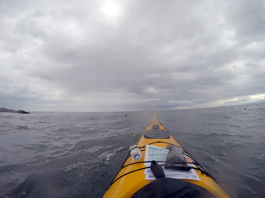
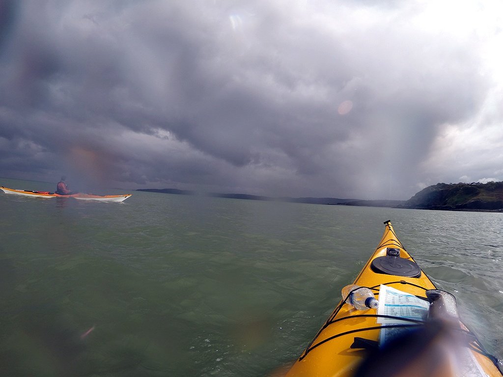
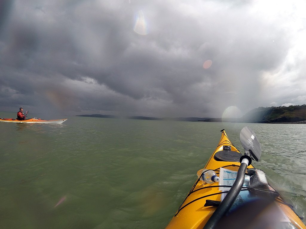
Day two started with us meeting at 10:00 am to decide where to paddle. The tides and wind combination were not once again ideal, with us ending up once again paddling into the wind, but with a little tidal assistance. We carried on from where we left off at Porth Eilian and paddled down to Benllech.
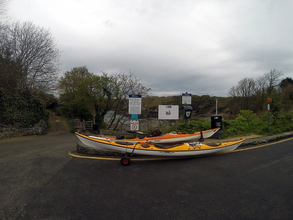 Nearly ready to set off at Porth Eilian - There is parking for cars in the car park at the top of the hill.
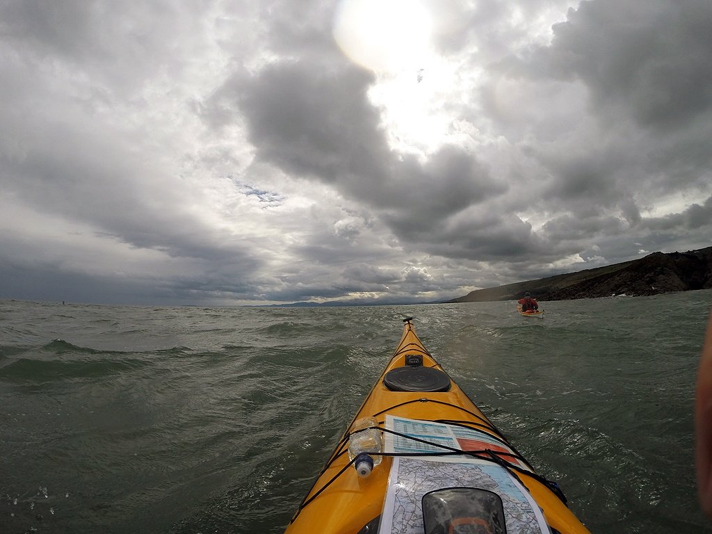
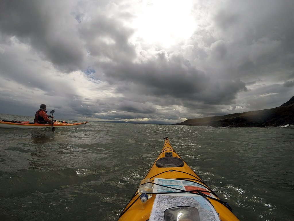
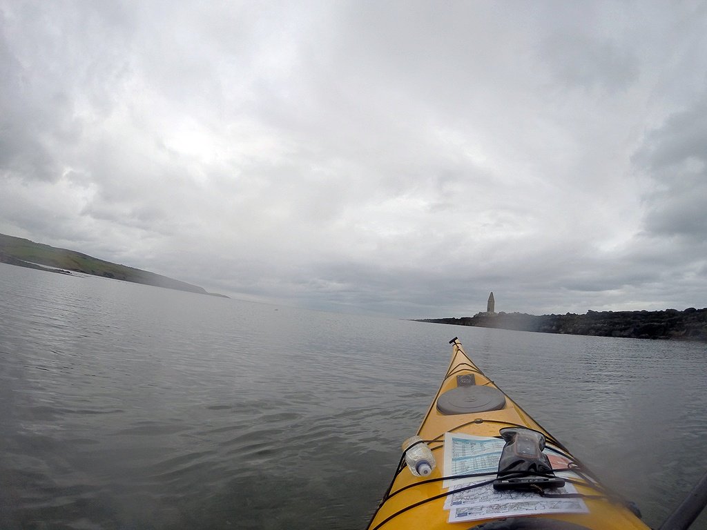
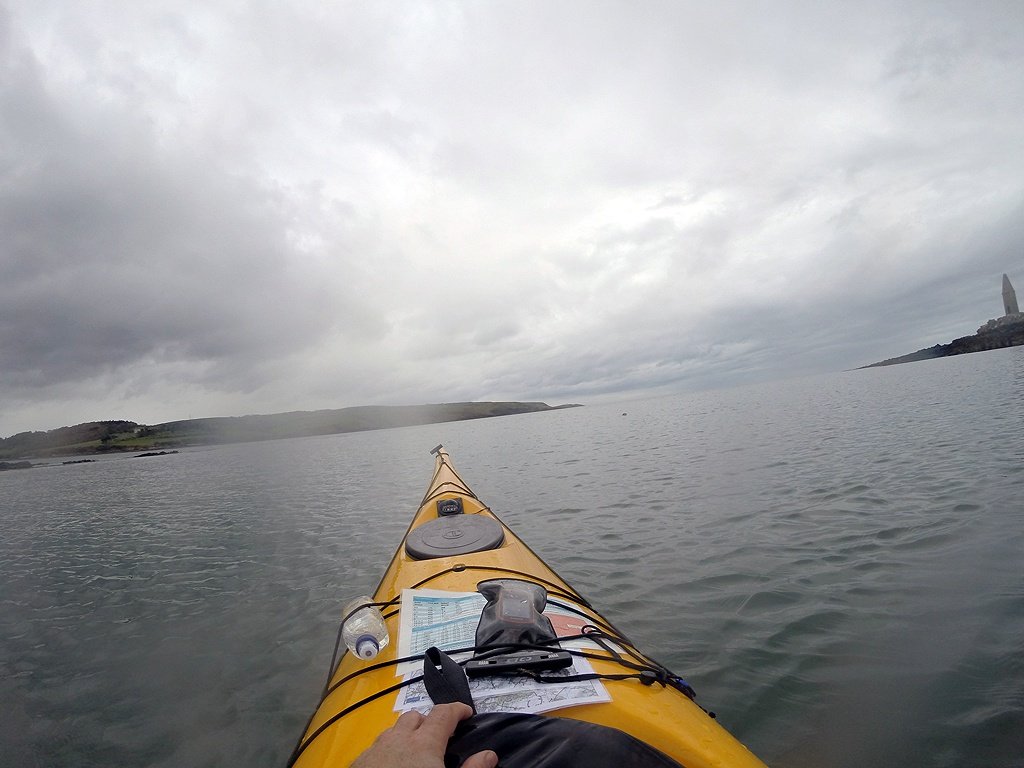
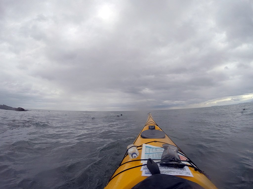
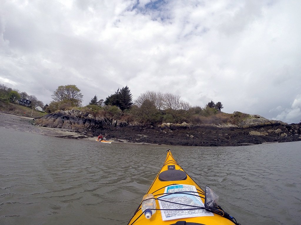 Setting off from Porth Eilian and paddling North around the headland at Point Lynas before heading back south.
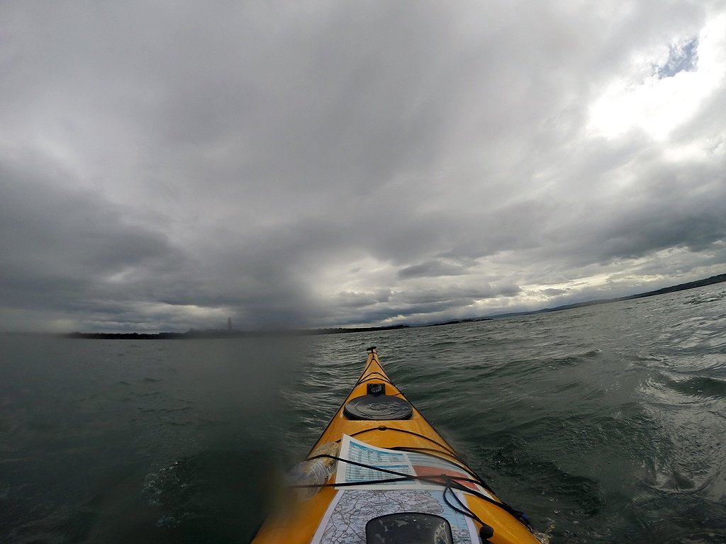
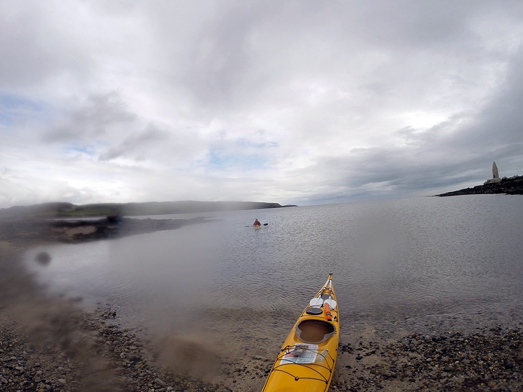
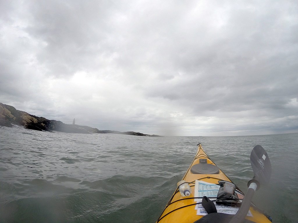
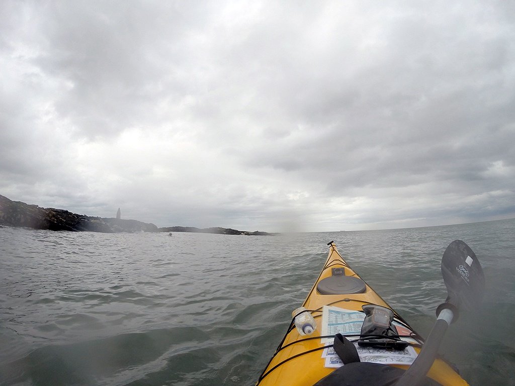
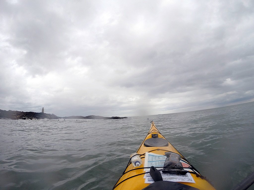
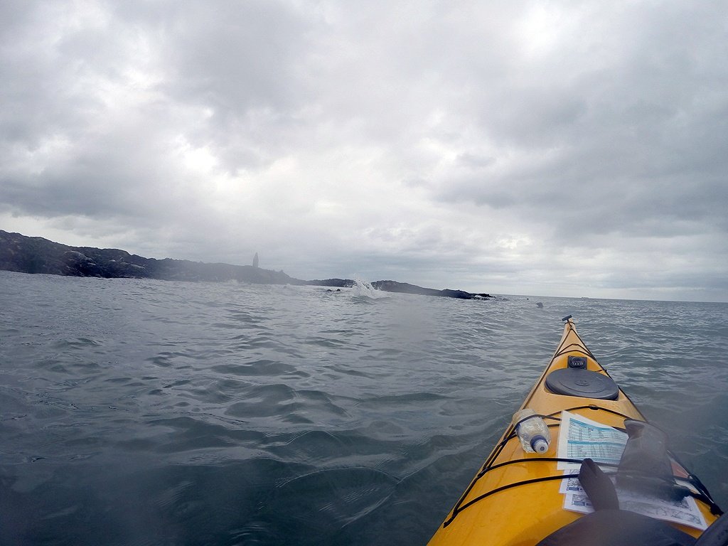
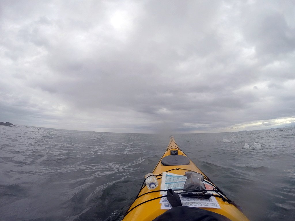
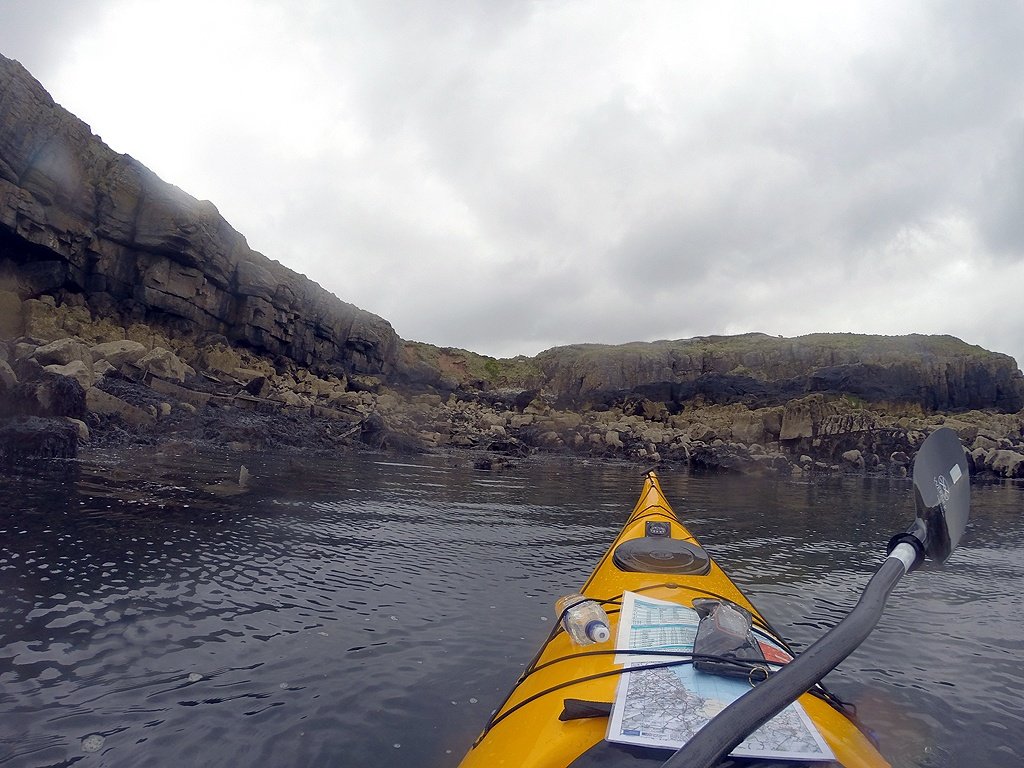
We headed out of Ynys Dulas

Once ashore at Ynys Dulas I began to wish I'd worn my other shoes and not my Peak UK playboating slip ons...
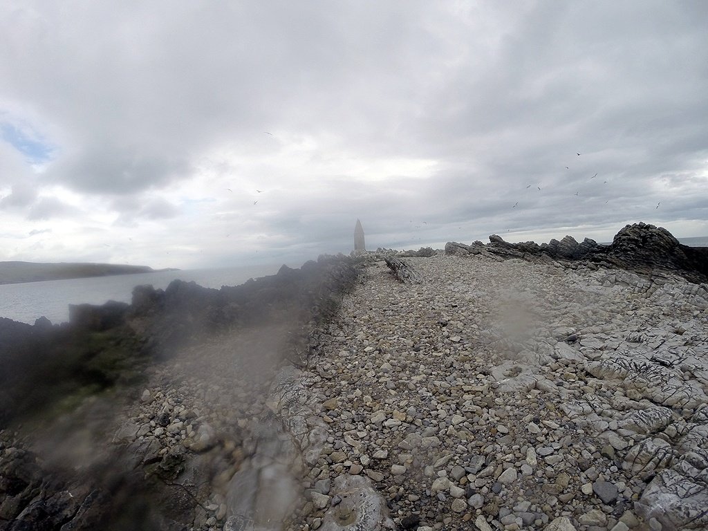 The ground was not kind to feet.
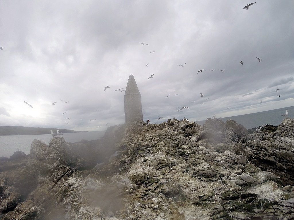
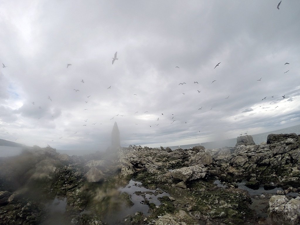 We disturbed the Herring Gulls

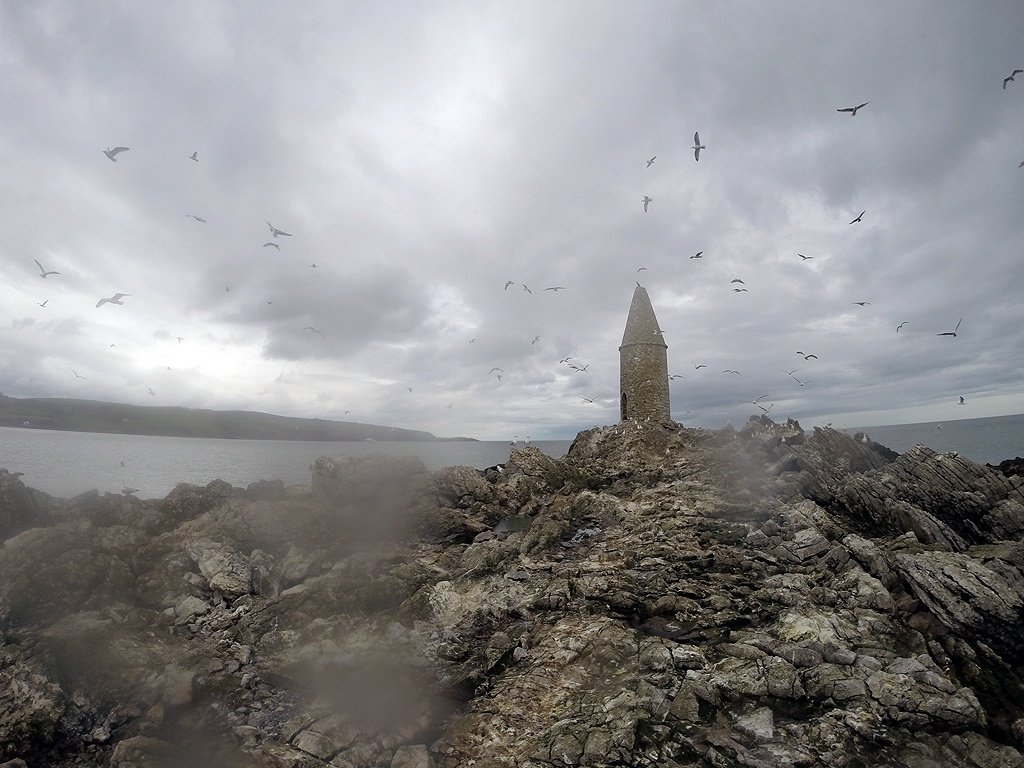 It was a bit slippy and very smelly....
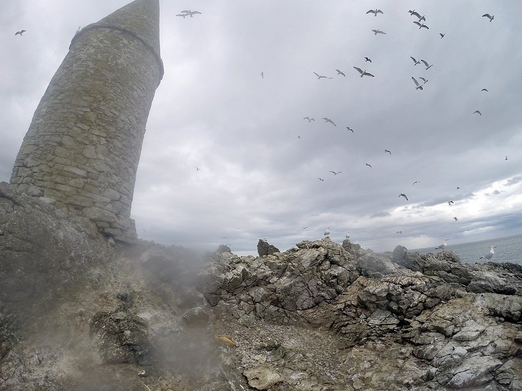
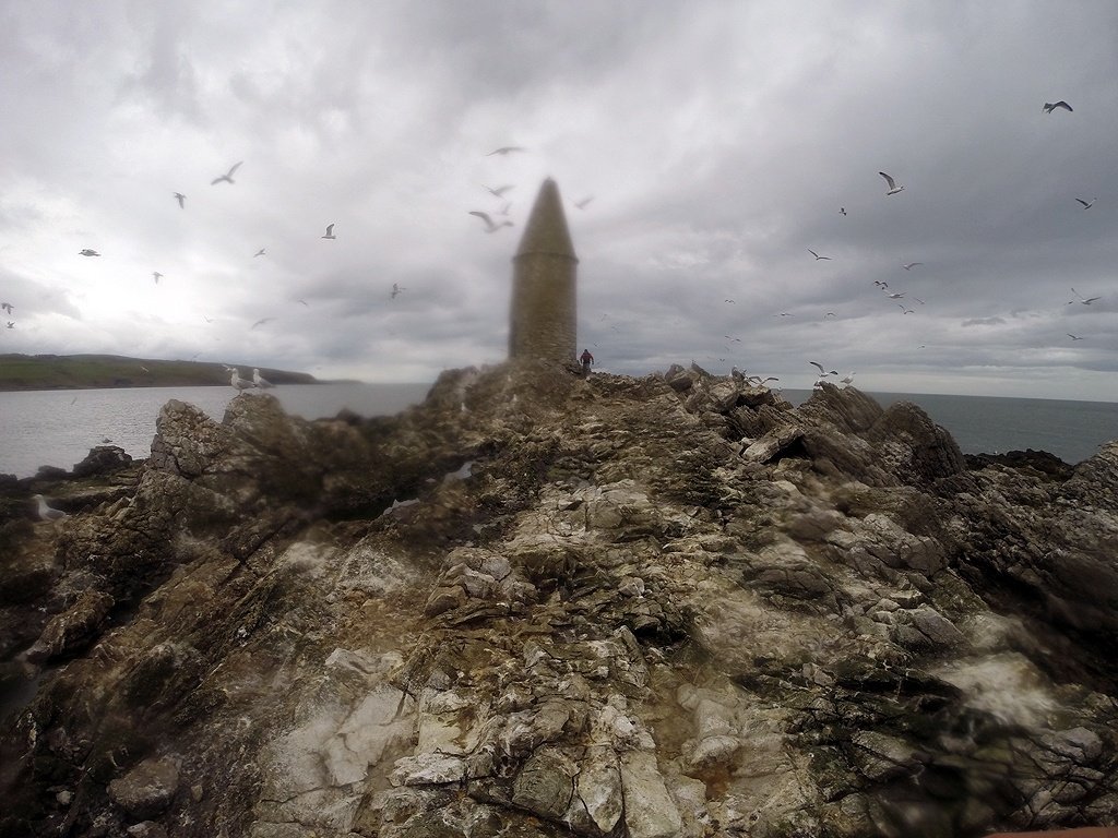
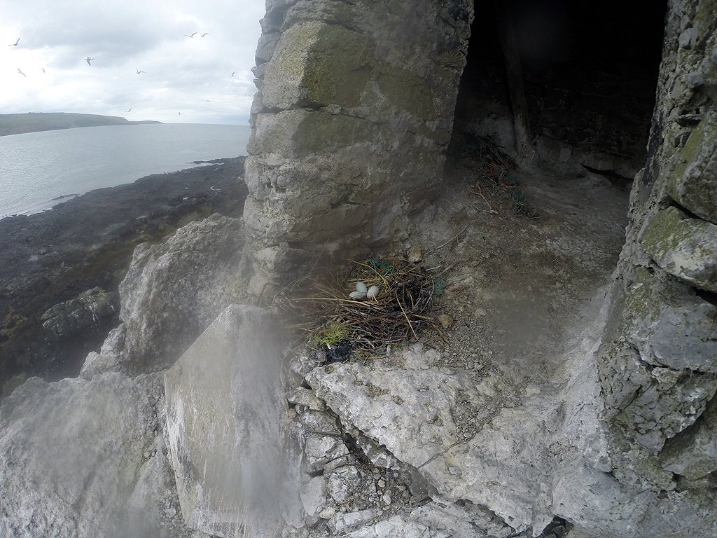 I stuck my head in the smelly cairn and disturbed two nesting Shags, so I didn't stay long.

 Back at the boats a seal came to huff at us.
 So we paddled around the southern end of the island where the main seal colony were sunning themselves.

 With Seals popping up everywhere we decided to leave them to it.
 As we reached Moelfre we passed the wreck site of the Hindlea, a 400 ton coaster that smashed upon the rocks in 1959, just a few yards and almost one hundred years to the day after the Royal Charter was wrecked, with 459 lost and only 40 survivors.
 There was plenty of bent and twisted iron still in the water from the Hindlea
 It was hard to imagine so many people lost their lives here from the Royal Charter disaster. The cliffs are not even high. Charles Dickens visited the scene and described the scene in the Uncommercial Traveler
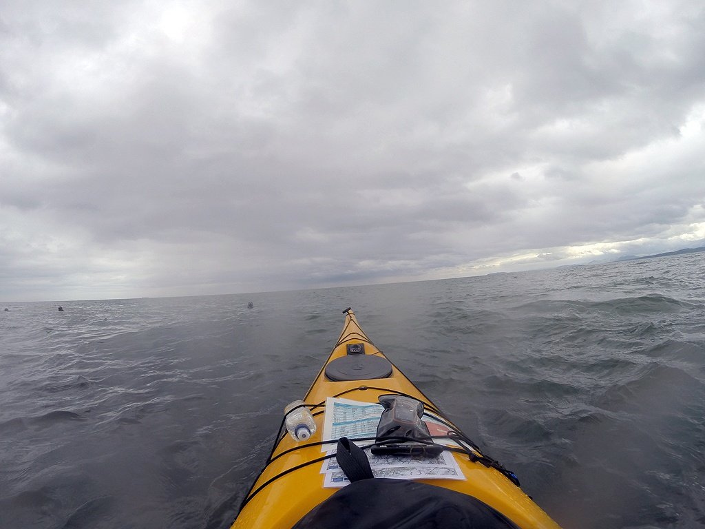
 Once past Moelfre we were soon at Benllech where we surfed in on some 6 inch high waves!
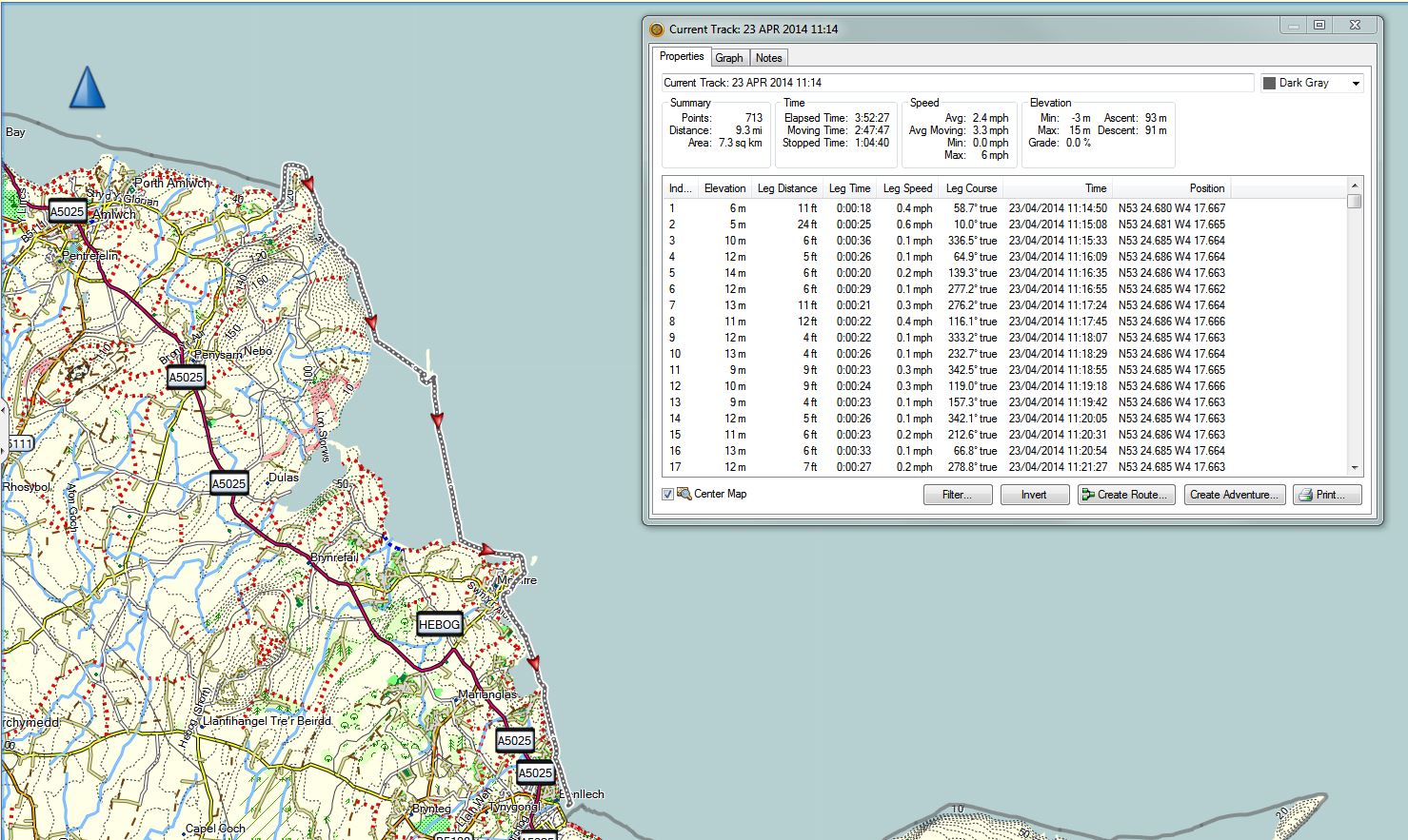
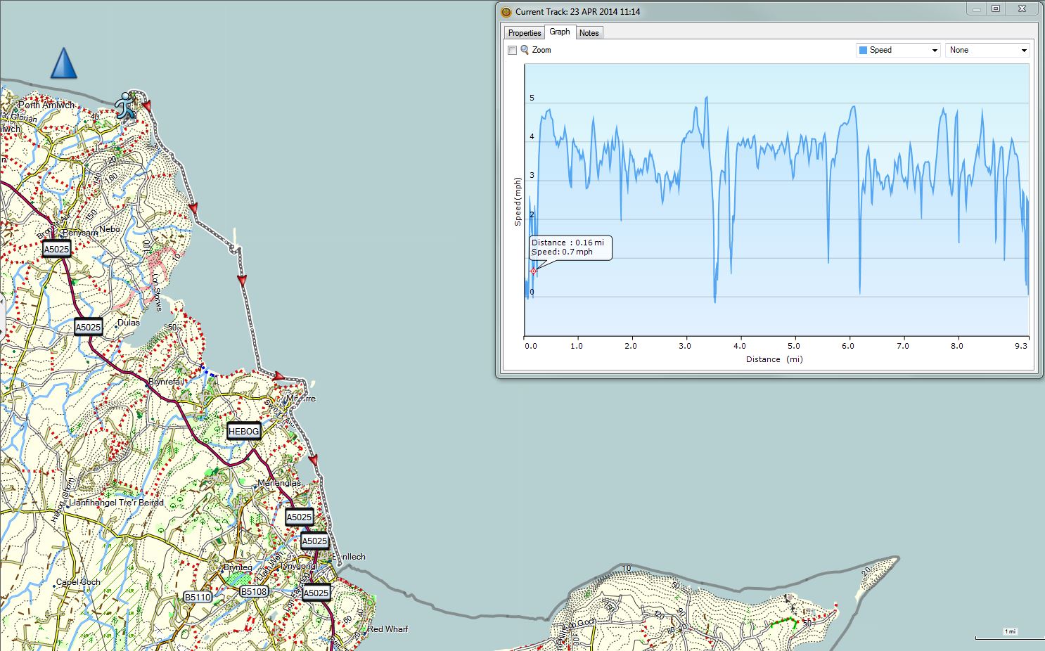
 GPS track of the Days progress. Just under ten miles against the wind and towards the end, a little against the tide.
Best day kayaking ever!
