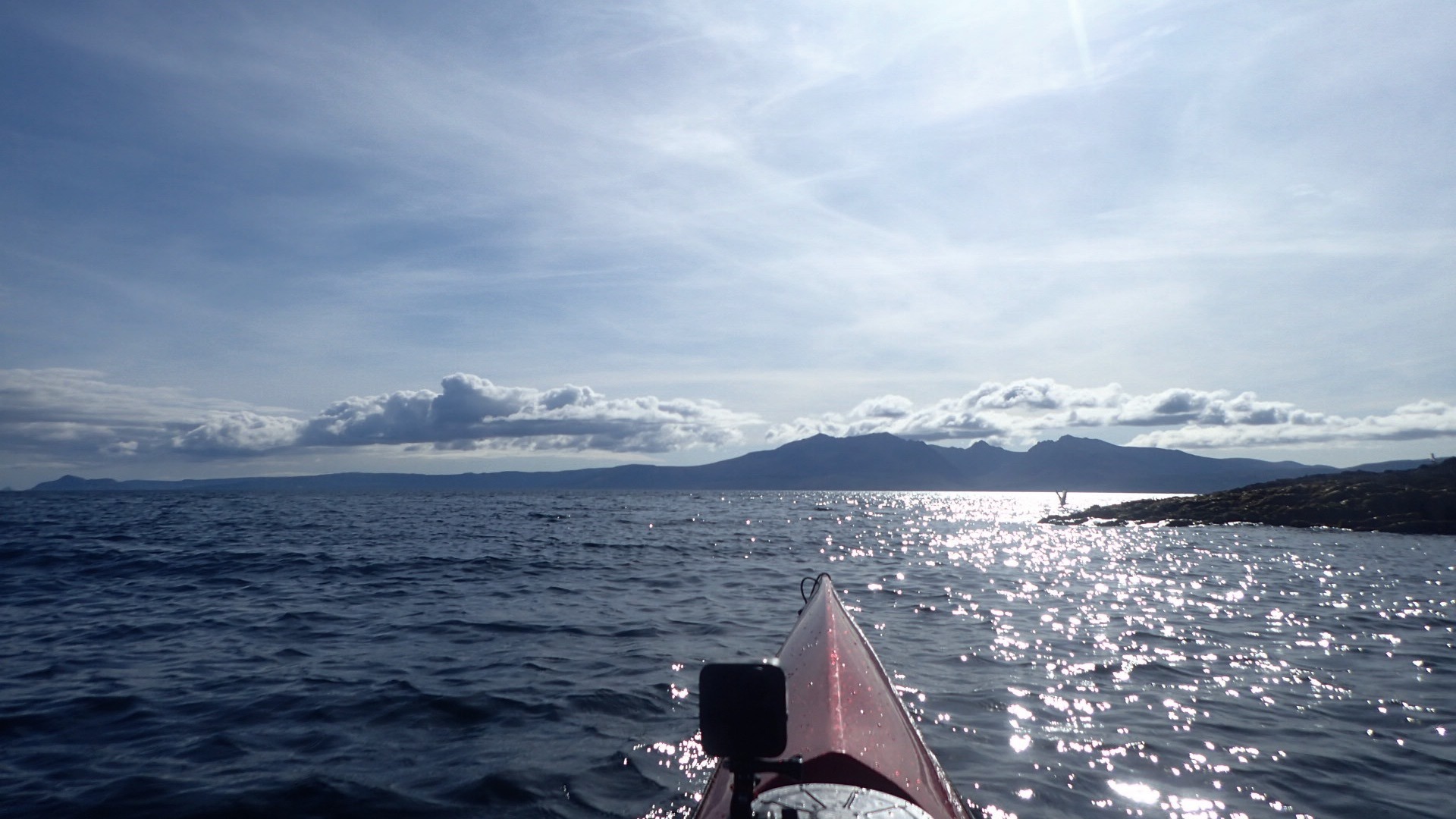
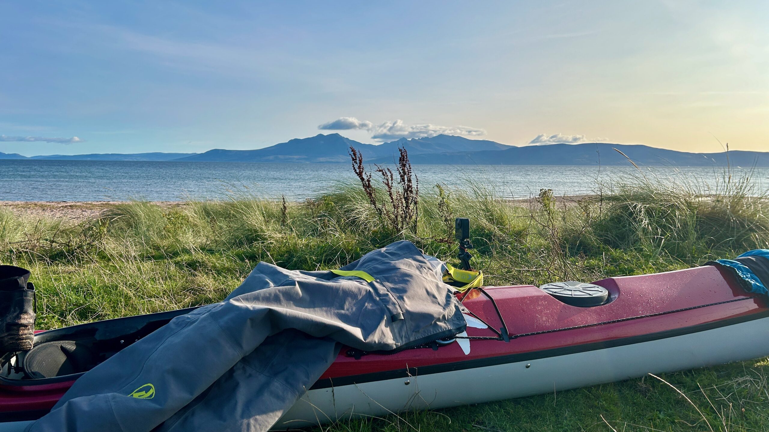
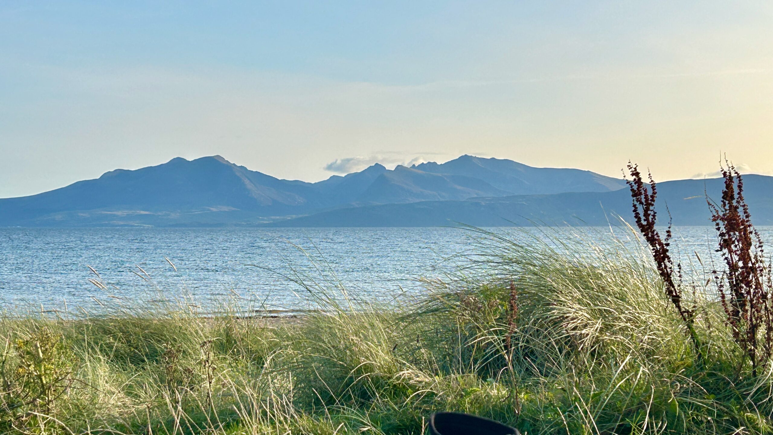
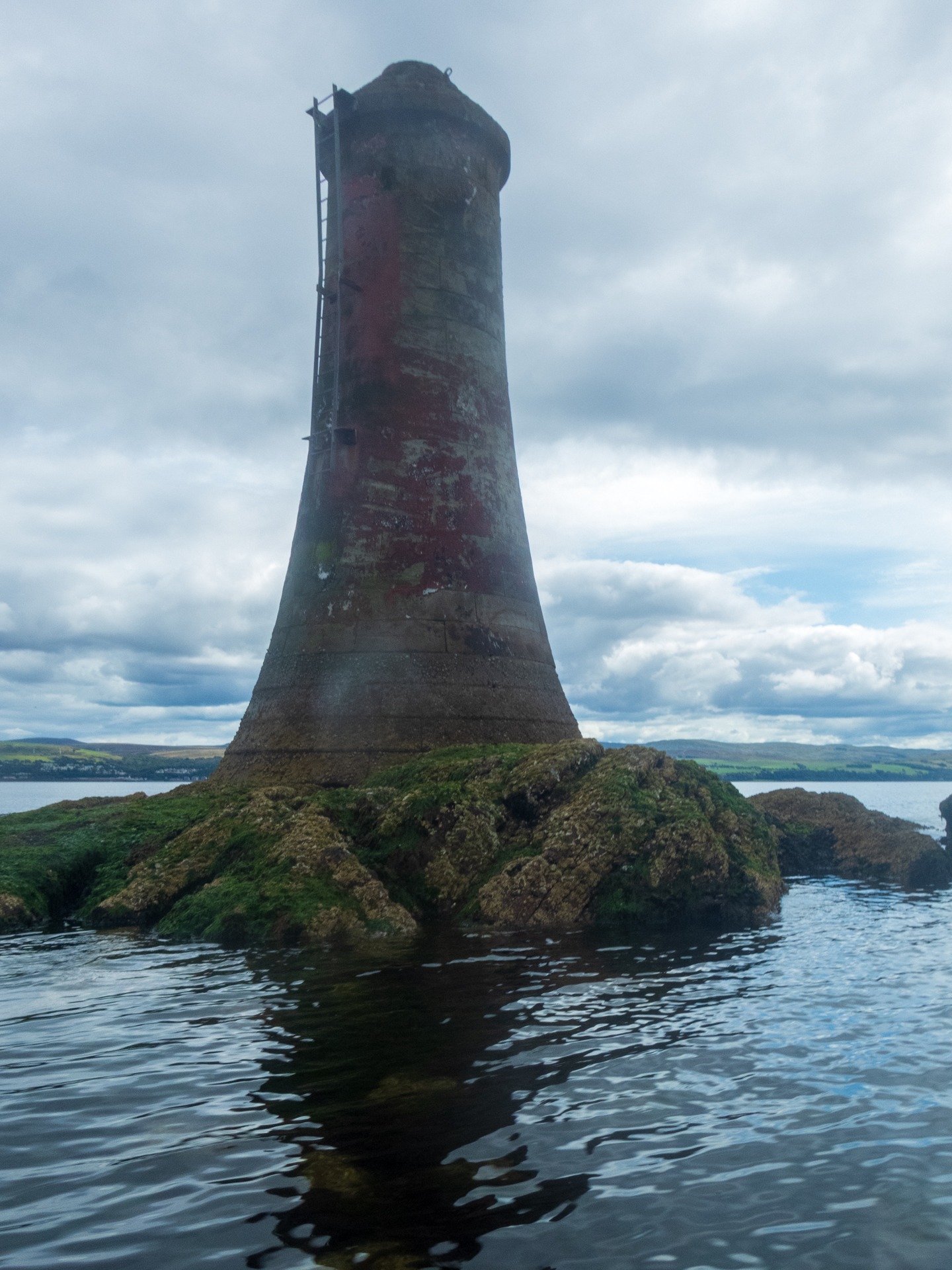
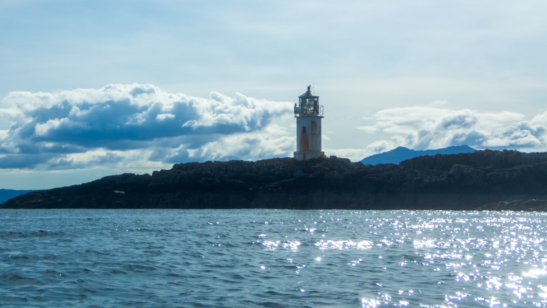
I finally managed to get a lap of Bute in last Friday/Saturday, 21st/22nd August, paddling my fully laden Taran, “Disco Boy”. I also managed two laps of the Perch Beacon: one on the way to Bute and another on the return journey.
For some crazy reason, I set off from the slipway near where I live on Gare Loch. I think that, after all those years of travelling to and from mainly Anglesey by car from where I used to live near Nottingham, it is nice not to have to use the car. Plus, getting to a launch point for Bute by car involves at least a two-hour, 50+ mile drive from where I now live in Scotland, despite Bute not exactly being many miles away “as the crow flies”.
My original plan was to do the trip over three days, stopping somewhere in the south of Bute on day one, at Toward Sea Sports Centre on day two, and then paddling home on day three. However, as things turned out, I only had one overnight stop, near Bute Golf Club at Stravanan Bay.
On day one, paddling down the Clyde towards Bute, I encountered, er, “zillions” of porpoises — or perhaps just too many to count — as well as a pod of common dolphins leaping out of the water. I also narrowly missed seeing a minke whale on my crossing from Cloch Point to just south of Dunoon. A passing yacht told me they had literally just seen it.
I think I must have smelt the whale, though, as, just before chatting with the yacht’s skipper, I had paddled through what can only be described as a very “pongy”, fishy smell!
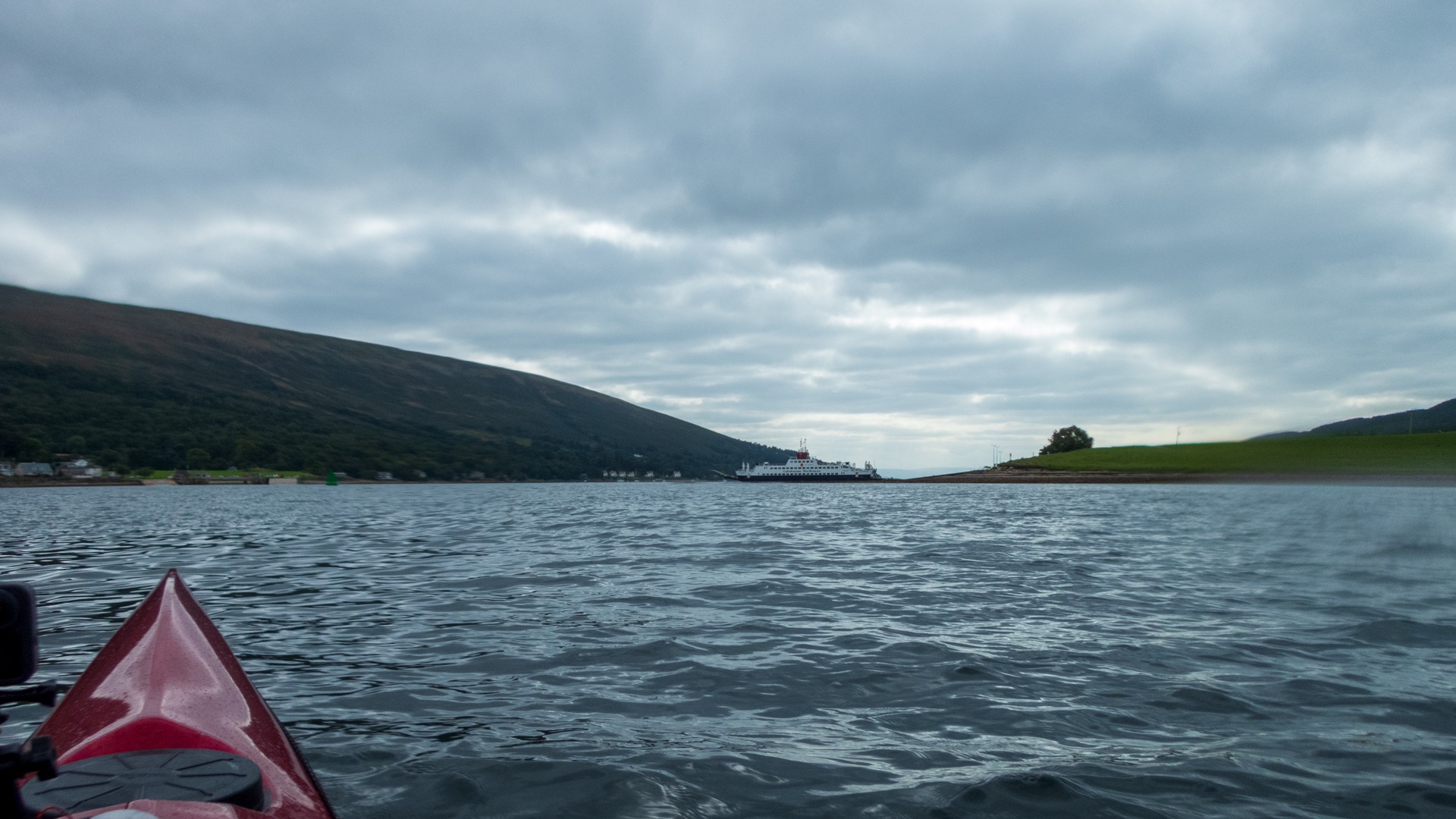
My Garmin GPS batteries then died during the crossing from Toward to Bute, whilst I was busy avoiding the incoming Bute ferry. This necessitated a brief stop to rummage through my dry bags for the replacement batteries, which I had thoughtfully packed somewhere in the boat. Having finally located them, I replaced the old batteries and carried on.
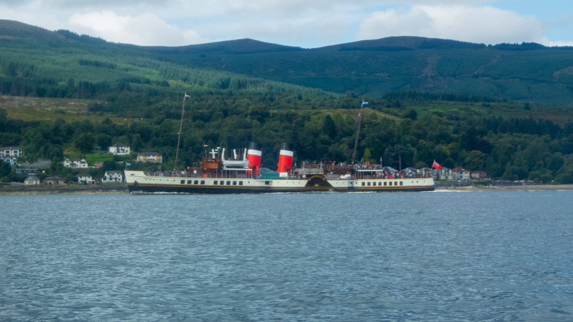
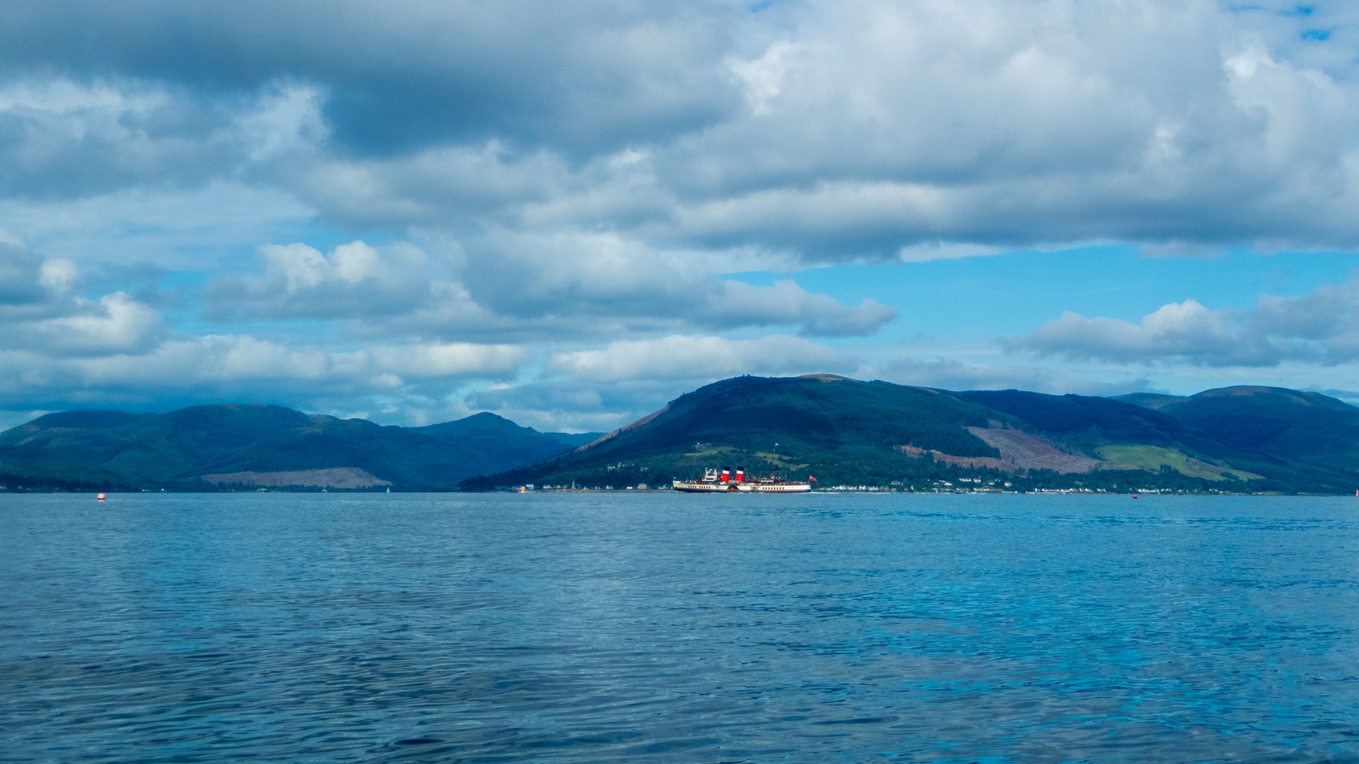
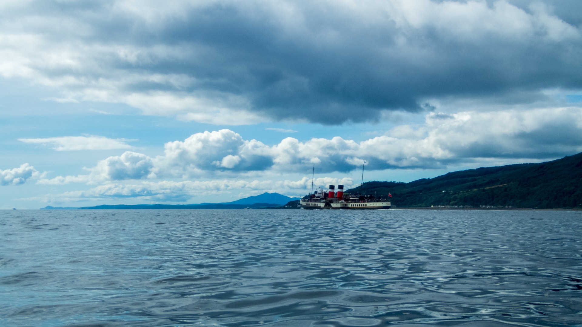
Throughout the day, I was also regularly passed by the paddle steamer Waverley, which is always a lovely sight. She picked up passengers at Kilcreggan and Dunoon before continuing down to Rothesay on Bute.
If my progress hadn’t been slowed by the wind and head-high, white-capped swell (!) at the bottom end of Bute, I would have carried on for longer on day one. However, seeing as I was struggling to make 2–3 knots at that point, heading for the beach for the night seemed like the sensible option.
On arriving at the beach, a guy in a campervan offered me a can of beer, which was very much appreciated! But that meant there would be no getting back on the water afterwards. Of course by the time I had put my tent up the wind eased and conditions out at sea looked much better. Oh well nighty night.
Day 1 - 27.7 nm 8 hours 10 minutes
The following morning, setting off, there was only a slight headwind and swell. But during the course of the day, I experienced headwinds, side winds, flat calm and, very briefly, a tailwind. Naturally, the tailwind didn’t last!
I reached Toward Sea Sports Club at around 13:00-ish. It was far too early to call it a day and set up camp, so, having refilled my water bottle, I decided to carry on home. Besides, I had only covered just under 20 nautical miles (37 km) at that point. Another 16 nautical miles (29 km) wasn’t exactly going to hurt, was it?
The tide — negligible as it was, with it being neaps — was supposed to be coming in up the Clyde. The only problem was that, on rounding Toward Point, I was once again slap bang into the wind. Oh well, "grit teeth and paddle on"!
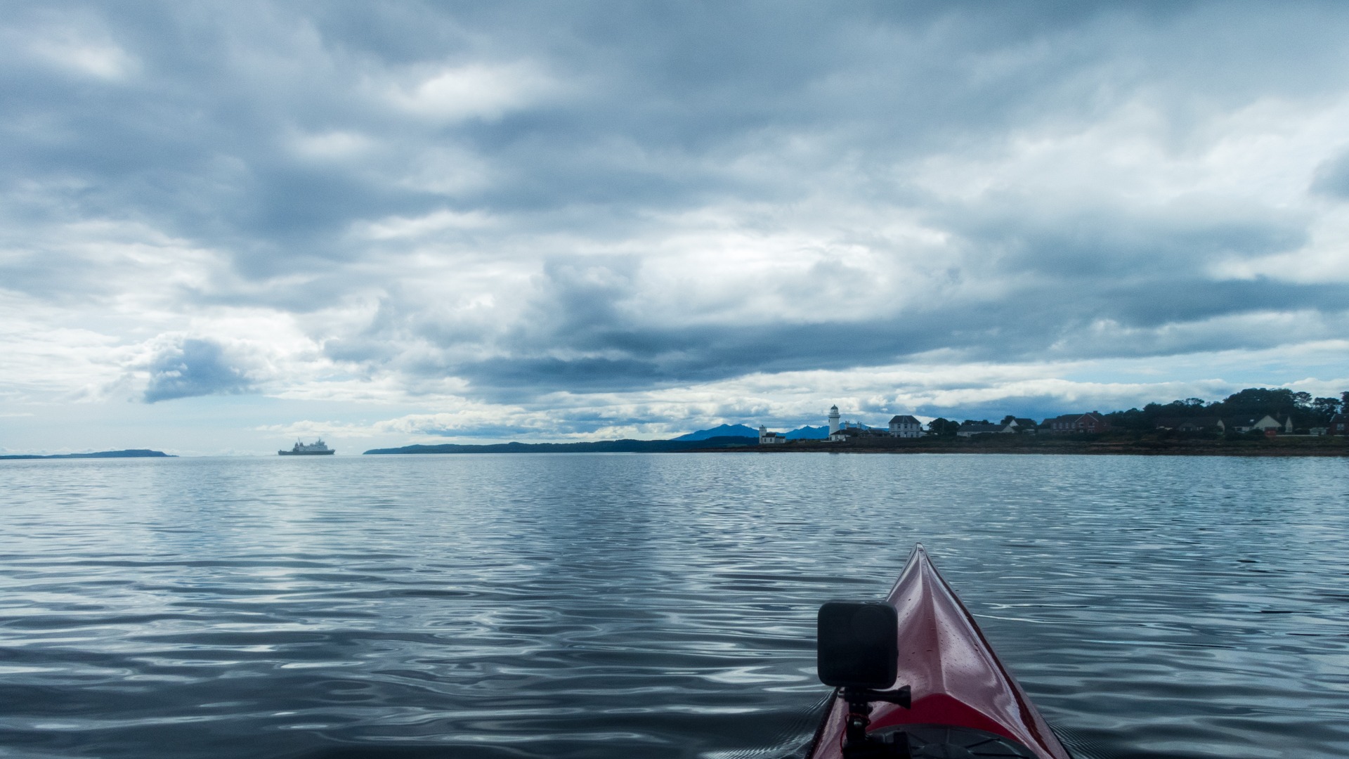
I carried on up and across the Clyde, past Cloch Point and towards Gourock, eventually arriving just short of the Western Ferries Gourock–Dunoon vehicle terminal. I have found that passing close to the ferry terminals in Gourock is the best approach, as it makes it easier to judge the ferries’ arrival and departure times. From experience, the ferries do not give you much space when encountered out in the middle of the Clyde (probably as they haven't spotted me), and their wake can be somewhat unsettling when they pass close by.
Having passed the Western Ferries vehicle terminal, it is only about a mile to the CalMac Gourock–Kilcreggan–Dunoon ferry terminal. Luckily for me, my arrival was timed to perfection: one ferry had just set off, while another had just arrived.
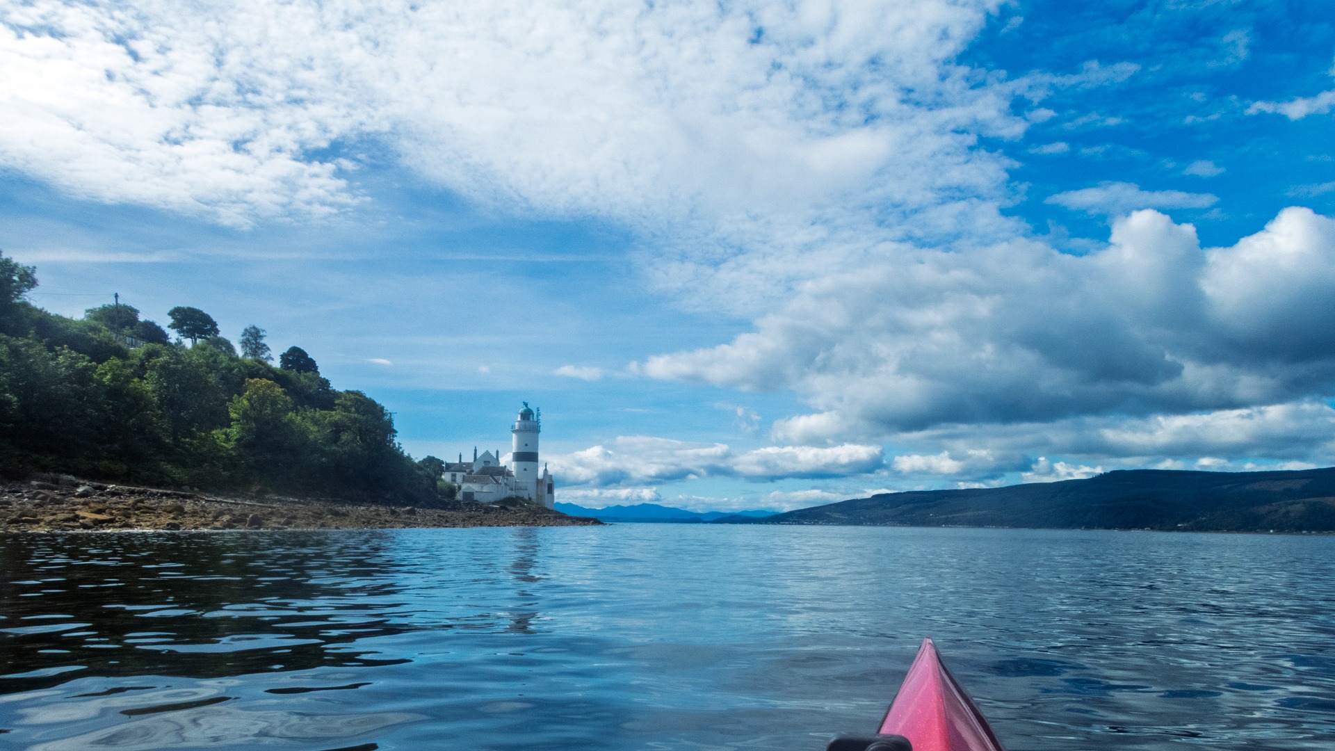
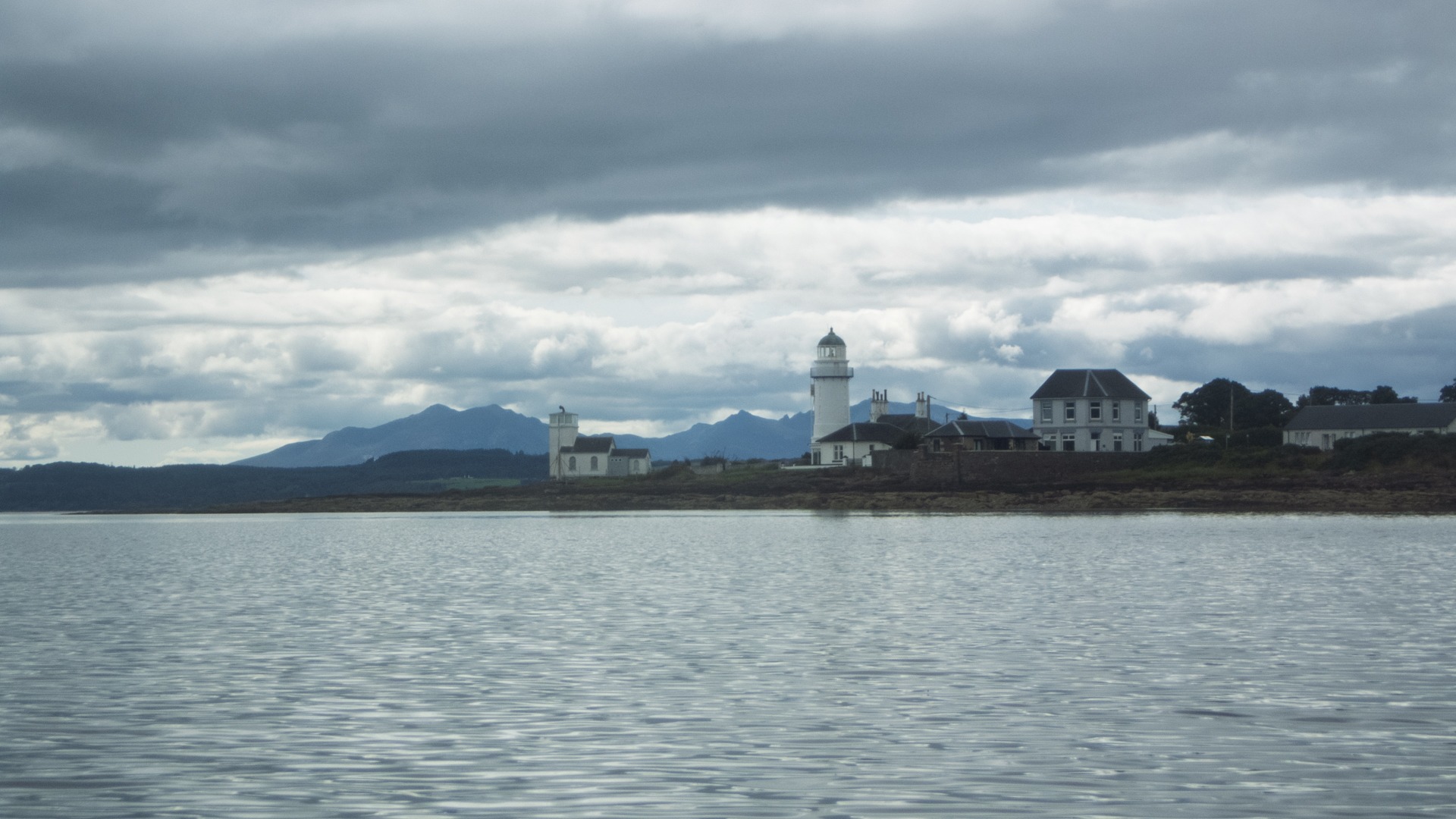
I didn’t see much at all in the way of wildlife on the return journey. I think this was because I was concentrating on transit points, “guestimating” distances and trying to work out how long it would take me to reach particular landmarks. I was constantly wrong, with the distances taking far longer to cover than I had first thought. Cloch Point Lighthouse, in particular, seemed to remain the object of my focus for far, far too long!
By the end of day two, I have to say, it had been a bit of a slog: 35.5 nautical miles for the day (65.75 km).
Day 2 - 35.5 nm 10 Hours 41 minutes
Trip total 63.8 nm (117km or 73 miles) in two days
Awesome!
GPS track
.