After yesterday's superb day in Loch Bracadale, we decided, after much discussion, to once again keep it local-ish and do a slightly modified version of the trip described in the guidebook "Skye & North West Highlands Sea Kayaking by Doug Cooper".
We would put in at Eynort, rather than Glen Brittle, and paddle around the Mininish Headland to Bracadale. The only potential issue was the low tide at Eynort at the start of the trip. I had noticed a note on Tidelines for the put-in, warning that it would be a long carry, and an even longer one at low water. Hmmm... only one way to find out!
On the drive to Bracadale, I spotted a Golden Eagle perched on top of a fence post, not far from the side of the road. Talking to Paul later, I think he had also spotted it.
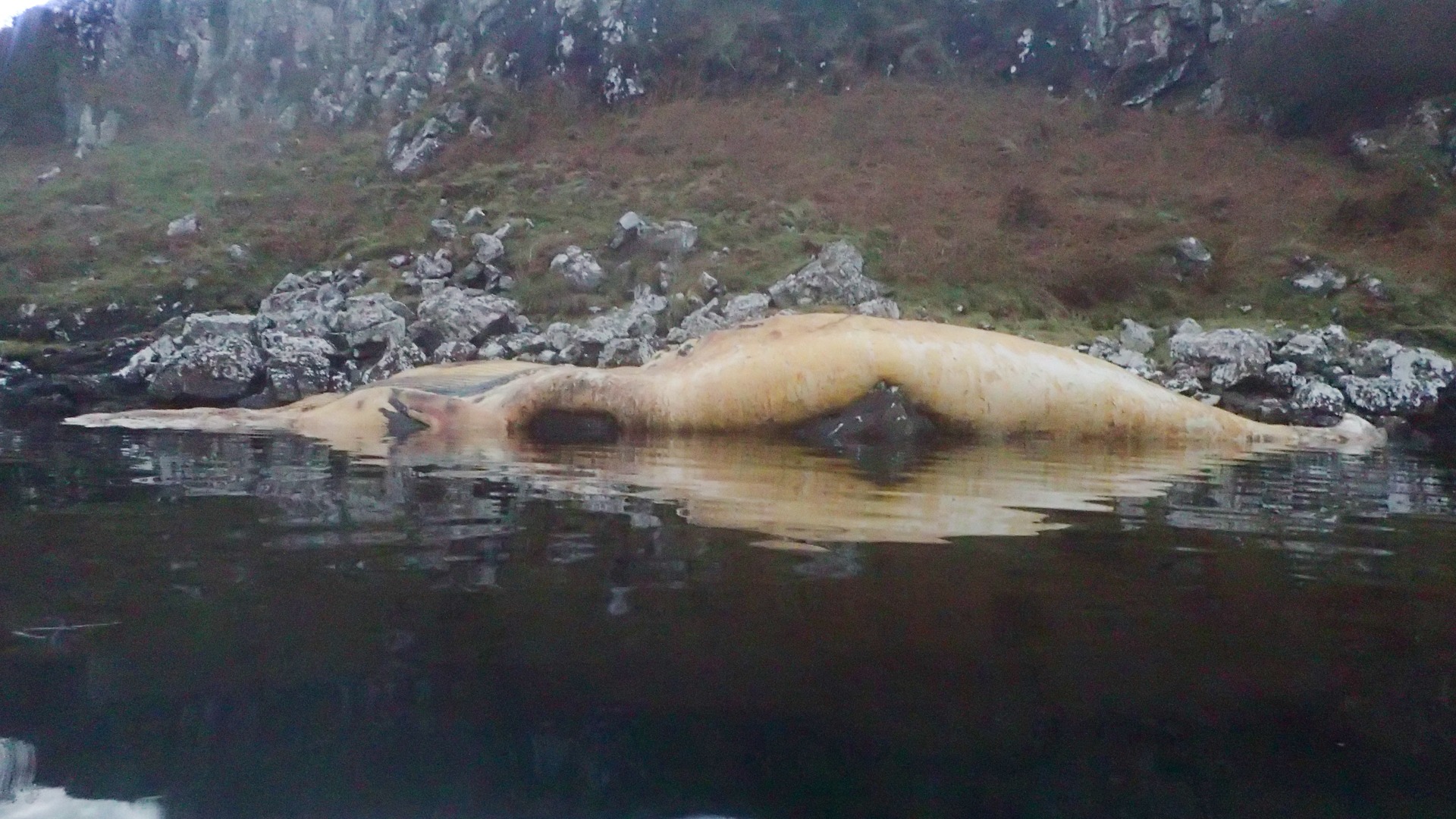
Having dropped off some cars at Bracadale, we then drove the additional 30 minutes to reach our launch point at Eynort. As we left Bracadale, I think we all spotted what looked like a dead whale washed up on the shore, not far from Bracadale Harbour. It was hard to tell. It looked like a whale, but its colour was a sort of yellowy cream. Maybe it was just a discoloured length of cream-coloured plastic sheeting, or some other rubbish washed up during the last storm?
At Eynort, you could immediately see that it was certainly going to be a very long carry to the sea! You could just about see the sea in the distance from the car park, but working out where the land became the sea wasn't easy!
Luckily, the exposed seabed wasn't mud, but good, firm gravel, which made carrying the boats to the sea much easier. The Eynort River was about 200 metres from the car park. At high tide, the river would have flowed into the sea here, but as it was very much a low tide, the course of the river below the high-water mark was interspersed with some deep pools of water and lots of shallow "mini-rapid" sections.
We carried the boats across to the river and then dragged and paddled them through the pools, picking them up over the shallow sections. It was a long, long way!
Halfway through the carry, I remembered to turn on my GoPro Max and set it to time-lapse mode to capture the long carry in. The video gives you an idea of just how far it was. By the time we reached the sea, we were all pretty warm in our drysuits, with arms that felt considerably longer than when we started out!
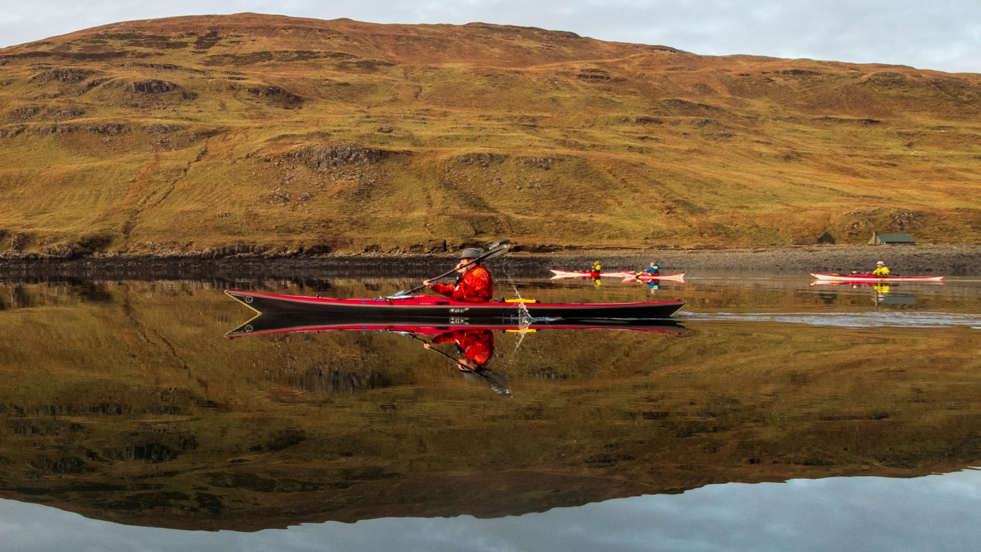
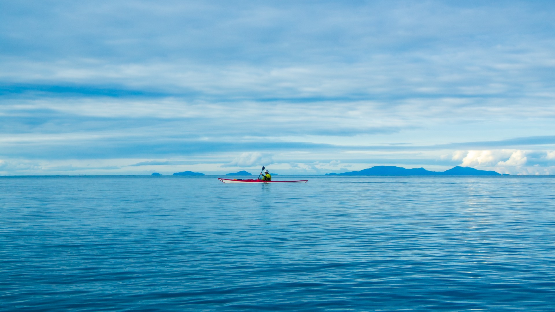
But it was well worth the effort. Loch Eynort was mirror-flat, the sun was out, and the views across the loch, with the hills reflected in the surface of the sea, were fabulous.
The guidebook mentioned a sea stack, "Stac an Tuill", worth seeing between Loch Brittle and Loch Eynort. So, instead of heading in our intended direction towards Talisker Bay, we headed the other way towards Loch Brittle.
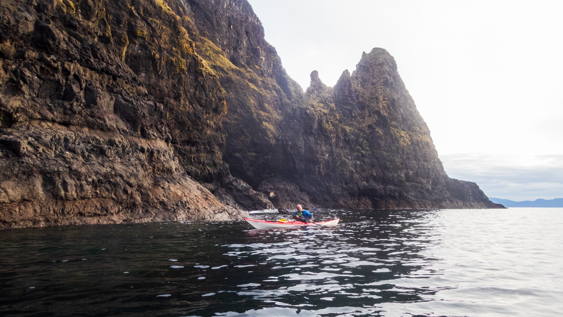
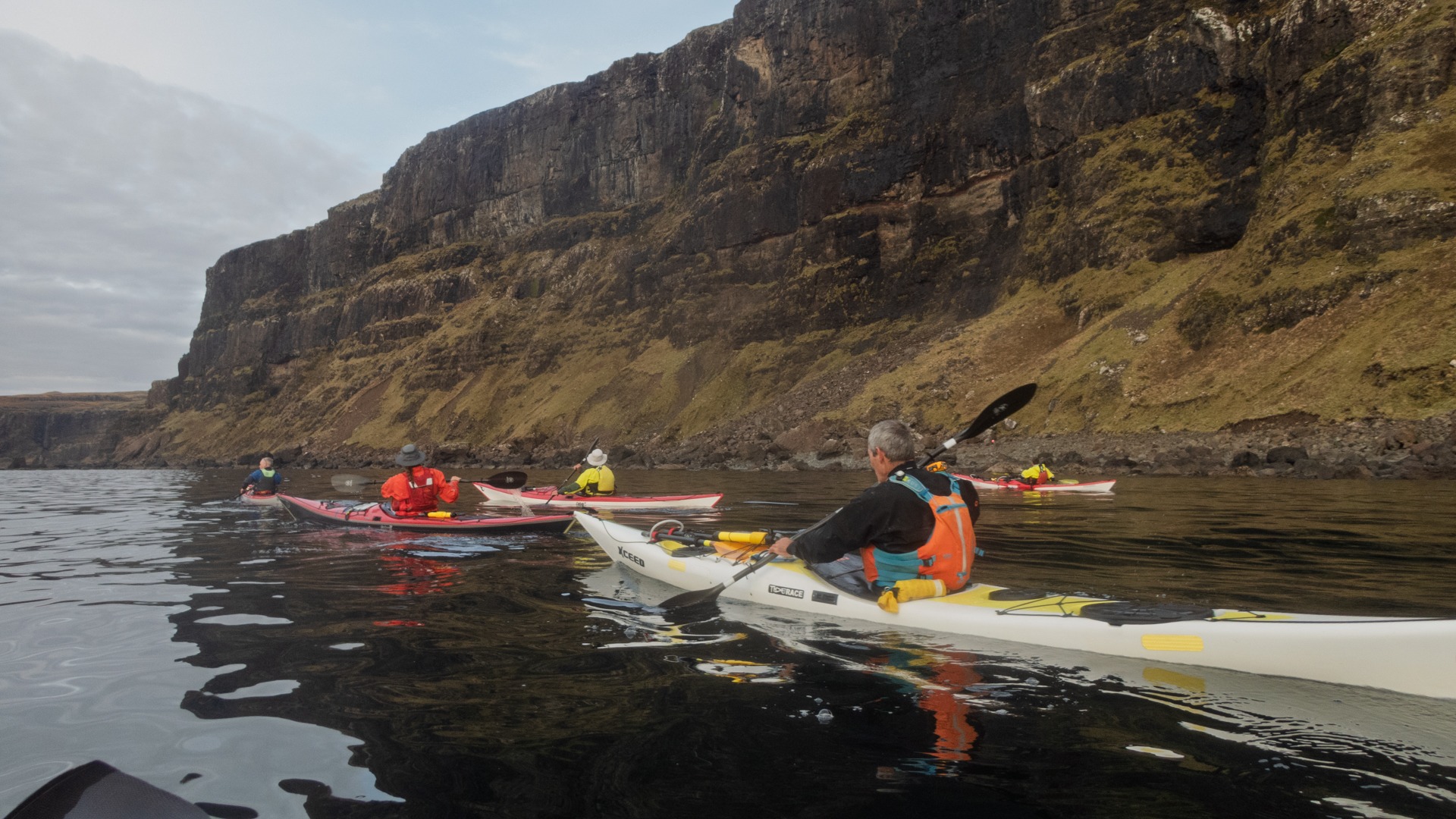
The coastline was great to explore on the way to Stac an Tuill, but we kept wondering where this sea stack was! Eventually, it appeared around a corner. And yes, it was quite impressive.
We circumnavigated the stack (a few extra points for me in the PSK 1000 Islands Challenge) before heading back towards Loch Eynort and onwards to Talisker Bay.
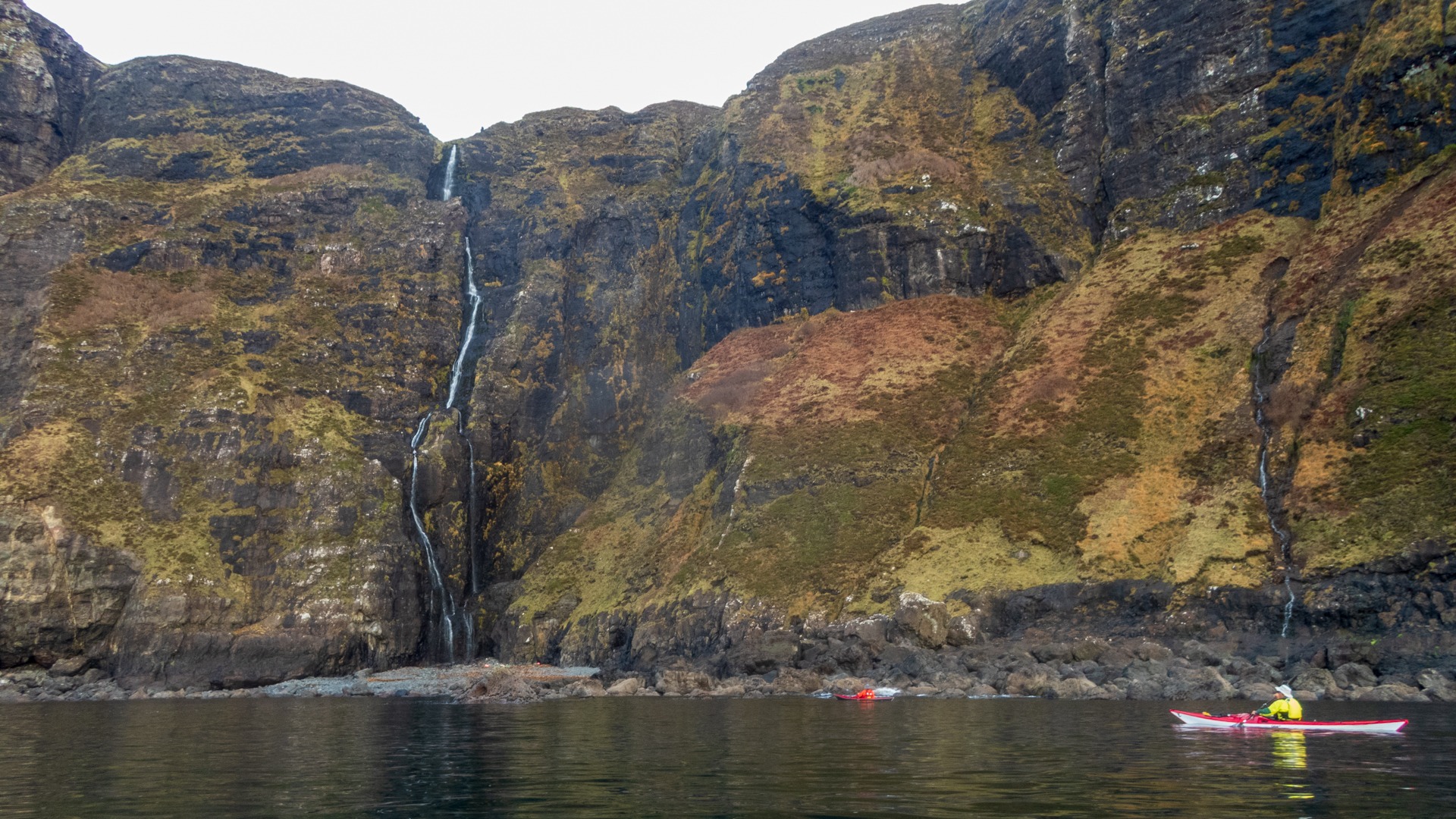
We were becoming quite conscious of the time we had spent visiting the sea stack. We still had a long way to go before it got dark, but there was so much to see: caves, amazing cliffs and waterfalls. Rob spotted an otter sitting on a rock. The otter sat there briefly, seemingly assessing us, before disappearing. There was also a brief glimpse of another Golden Eagle, flying away from us high up along the cliffs.
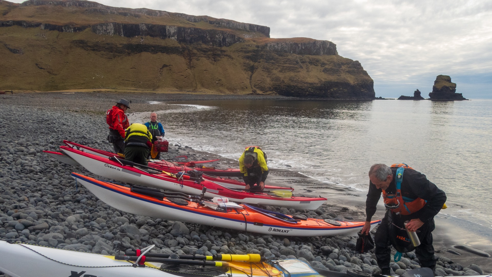
At Talisker Bay, we stopped for a quick bite to eat. Up to this point, there had been very few opportunities to stop, with the sheer cliffs and rocks preventing us from landing. As it was now 14:20, a much-needed break was required. But we couldn't stop for long. There was still a couple of hours' paddling required to reach Bracadale, and it would be starting to get dark around 16:30.
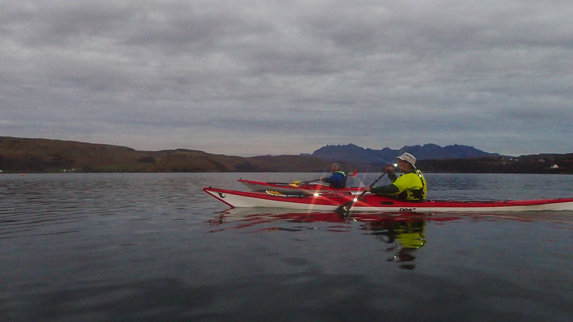
Leaving Talisker Bay, we curtailed our exploration of the coastline and paddled back towards Bracadale.
As we approached Bracadale, we were assailed by a very bad smell. Yep, it was the dead whale! Alistair found out after the trip that it was actually a dead Fin Whale. Fin Whales are the second-largest whales in the world, with the Blue Whale being the largest.
It was difficult to estimate the size of this whale, as it had obviously been decomposing for quite some time. Once we had passed downwind of it, the smell wasn't quite so bad!
Back at the cars at 16:30, it was a case of loading up the boats and changing out of our kit. Two cars headed back to the cottage, while I drove back to Eynort to collect the cars and their respective drivers. By now, it was very dark.
What a fantastic day, though! I would happily return and do this paddle many times, especially with more time to explore.
Fab!
15.9 nm (or 29.5 km in Napoleon) 5 hours 47 minutes
GPS track